March 02, 2015
 Source/GoogleEarth
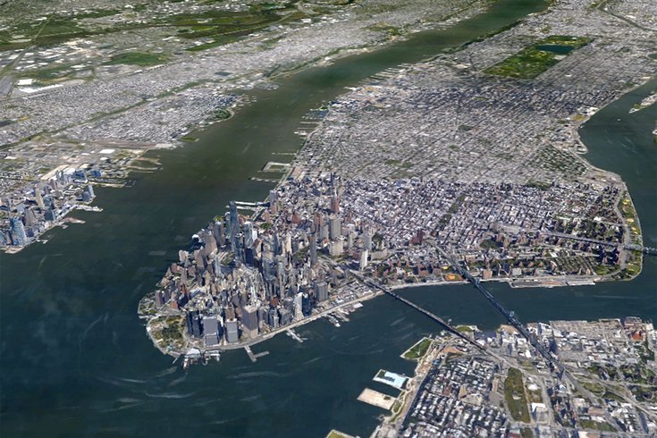
Sea levels north of New York City rose by just over five inches in two years, a historic rise, according to a study in the journal Nature Communications.
A study has found that sea levels along the northeast coast of the United States rose by record levels during 2009-2010, and scientists suggest extreme sea-level rises will become more common this century.
"The extreme sea-level rise event during 2009-10 along the northeast coast of North America is unprecedented during the past century," professor Jianjun Yin of the University of Arizona told BBC News. "Statistical analysis indicates that it is a 1-in-850-year event."
According to the report in the journal Nature Communications, sea levels north of New York City rose by just over five inches in two years.
Yin said that coastal communities will not only have to prepare for long-term and gradual sea-level rise, but also short and extreme sea-level rise events.
Jeff Linn of Spatialities has created a series of somewhat whimsical maps that illustrates how several urban cities and coastal regions would be impacted by various rises in sea level, if one-third of the Earth's ice sheets melted. For cities that are prone to flooding like New York, Los Angeles, San Diego, Vancouver, Seattle and London, among others, this could eventually mean total submersion.
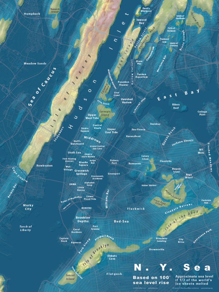
A map of the New York City region based on a 100-foot rise in sea level. (Jeffrey Linn/Spacialities)
The map above depicts less than the maximum rise in sea level calculated by the U.S. Geological Survey, which estimates that if all the planet’s glaciers melted, the potential sea rise would be about 262 feet.
On a positive note, it doesn't look like we will see a sea-level rise this high in this lifetime. One study said it would take anywhere from 1,000 to 10,000 years.