


January 06, 2022
 Jon Tuleya/For PhillyVoice
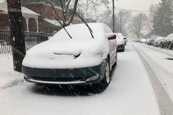
Philadelphia could see approximately 3-5 inches of snowfall late Thursday night into early Friday morning. Above is a file photo of a winter storm that hit the city in December 2020.
Get your shovels ready, Philadelphia. Snow is coming.
A winter weather advisory has been issued by the National Weather Service in advance of approximately 3-5 inches of snow that is expected to accumulate late Thursday night into early Friday morning.
The advisory will take effect for the entire Philly region at 10 p.m. Thursday and last through 10 a.m. Friday.
While some precipitation could begin before, most of the snow is forecasted to fall between 1 a.m. and 7 a.m. Friday. A narrow band of heavy snow producing up to two inches of snowfall per hour is possible. Temperatures are expected to drop to as low as 28 overnight.
The storm is expected to create slippery road conditions and could make the Friday morning commute difficult. The weather is forecasted to turn to clouds and eventually mostly sunny skies, with highs reaching near 34.
❄️❄️❄️ Here is the latest forecast for the snow tonight into tomorrow. Tomorrow morning's commute will be impacted with widespread accumulation expected overnight. A narrow heavier band producing higher totals and snow fall rates remains possible. #NJwx #PAwx #DEwx #MDwx pic.twitter.com/Df5Iwokw4l
— NWS Mount Holly (@NWS_MountHolly) January 6, 2022
The School District of Philadelphia will operate fully remote Friday due to the anticipated impact of the storm. Several public schools were already scheduled to conduct virtual learning Friday as a result of staffing shortages caused by rising COVID-19 infections.
PennDOT has reduced speed limits to 45 mph on highways such as I-76, I-95, I-476 and I-676. New Jersey issued a state of emergency that took effect at 10 p.m. Thursday.
Trash and recycling collections in Philadelphia could be further delayed due to the storm, according to the city. Delays and cancellations are possible through SEPTA and at Philadelphia International Airport.
Camden County has issued a Code Blue advisory that will be in effect from 7 p.m. Friday until 7 a.m. next Wednesday in anticipation of extremely-cold temperatures. This allows municipalities to expand sheltering services to residents experiencing homelessness.
Friday's storm will come on the heels of the region's first official snowstorm of the season that occurred Monday. While Philly saw snow accumulations of less than an inch, parts of the Jersey Shore were buried under more than a foot of snow.
Other than some rain forecasted for Sunday afternoon into the evening hours, the weekend is expected to remain dry with mostly sunny and clear skies.
Below is the complete forecast for Philadelphia through Monday, courtesy of the National Weather Service.
• Thursday night: Chance of rain and snow before 10 p.m. Approximately 3-5 inches of snowfall is expected to begin at around 1 a.m. Low of around 28.
• Friday: Snowfall expected mainly before 7 a.m. The snow will then give way to clouds and mostly sunny skies with a high near 34. Mostly clear with a low around 19 at night.
• Saturday: Sunny with a high near 33. Mostly clear with a low around 22 at night.
• Sunday: Rain expected after 1 p.m. with a high near 43. Chance of rain before 1 a.m. Mostly cloudy with a low around 28 at night.
• Monday: Mostly sunny with a high near 33. Mostly clear with a low around 17 at night.
Follow Pat & PhillyVoice on Twitter: @Pat_Ralph | @thePhillyVoice
Like us on Facebook: PhillyVoice
Add Pat's RSS feed to your feed reader
Have a news tip? Let us know.