January 26, 2018
 Thom Carroll/PhillyVoice
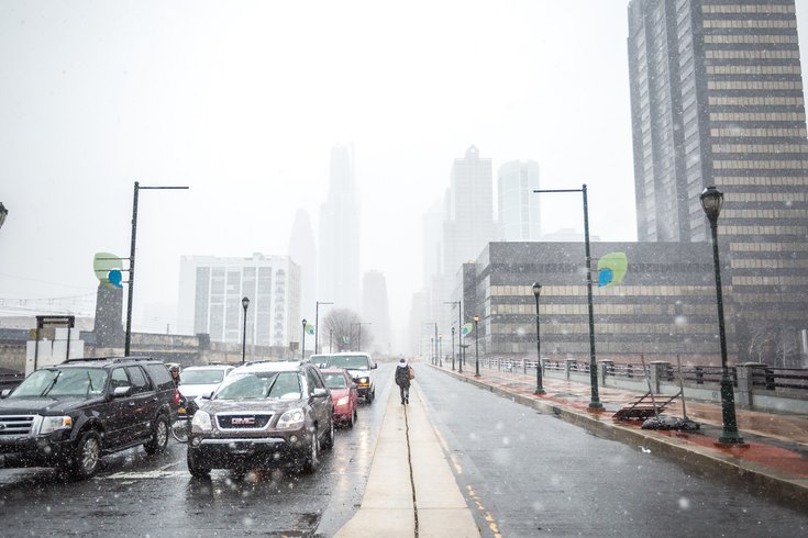
JFK Boulevard in Philadelphia near 30th Street Station, Friday, March 10, 2017.
A couple of inches of snow will fall Monday night into Tuesday as cold air returns to the Philadelphia region.
The unseasonably warm air in place Saturday – and sticking around through the rain on Sunday – will be ushered out late Monday by Arctic air, according to the National Weather Service. Dry weather on Monday afternoon – with temperatures still hanging in the 40s – will yield to precipitation – first as a rain-snow mix and then changing over to all snow as temperatures fall.
Snow showers are expected throughout the day Tuesday before tapering at night. Accumulation of as much as 2 inches of snow is expected for southeastern Pennsylvania; less for points south and perhaps 3 inches in the Poconos.
A weather system later in the week looks to provide another rain-to-snow changeover.
Arctic high pressure will move into the region late Tuesday and Wednesday before moving offshore on Thursday, allowing temperatures to reach back into the 40s.
An approaching low pressure system will bring rain on Thursday night, but enough cold air is expected to seep in to permit a changeover to snow. It appears the precipitation would switch back to rain on Friday as temperatures rise again. Some uncertainty about that process remains, forecasters said.
Conditions generally dry out for next Saturday.
Here is the 7-day forecast from the weather service:
Saturday night: A slight chance of showers before 11 p.m., then rain. Low around 48. Southwest wind 8 to 11 mph. Chance of precipitation is 100 percent. New precipitation amounts between a tenth and quarter of an inch possible.
Sunday: Rain before 10 a.m., then showers, mainly till 1 p.m. High near 53. West wind 5 to 7 mph becoming north in the afternoon. Chance of precipitation is 100 percent. New precipitation amounts between a quarter and half of an inch possible.
Sunday night: A chance of rain, mainly before midnight. Mostly cloudy, with a low around 37. Northeast wind 3 to 7 mph. Chance of precipitation is 30 percent. New precipitation amounts of less than a tenth of an inch possible.
Monday: A slight chance of rain before noon. Partly sunny, with a high near 46. Northeast wind around 9 mph. Chance of precipitation is 20 percent.
Monday night: A chance of rain showers before 10 p.m., then a chance of rain and snow showers between 10 p.m. and 2 a.m., then a chance of snow showers after 2 a.m. Mostly cloudy, with a low around 30. North wind around 6 mph. Chance of precipitation is 50 percent. New snow accumulation of less than a half inch possible.
Tuesday: A chance of snow showers, mixing with rain after noon, then gradually ending. Mostly cloudy, with a high near 36. Chance of precipitation is 40 percent. New precipitation amounts of less than a tenth of an inch possible.
Tuesday night: Mostly clear, with a low around 18.
Wednesday: Mostly sunny, with a high near 34.
Wednesday night: Mostly cloudy, with a low around 27.
Thursday: Partly sunny, with a high near 46.
Thursday night: A chance of rain. Mostly cloudy, with a low around 33. Chance of precipitation is 50 percent.
Friday: Rain likely. Cloudy, with a high near 43. Chance of precipitation is 70 percent.
Friday night: A chance of rain and snow. Mostly cloudy, with a low around 23. Chance of precipitation is 30 percent.
Saturday: Mostly sunny, with a high near 33.