
March 18, 2016
A Nor’easter tracking up the East Coast will stay further out to sea, reducing the amount of snow expected Sunday in Philadelphia and its northern and western suburbs.
As a result, the best chance for wet snow will be in South Jersey and toward the coast, according to forecasters with the National Weather Service.
Light rain should move in on Saturday afternoon mainly south and east of the city, gradually spreading across the region. Snow could mix in as well, forecasters said. Some heavier bands could develop through this afternoon, with snow most likely in extreme South Jersey and Delaware, where it could fall heavily for several hours. The precipitation will likely taper off slightly on Saturday night.
Related story: Beyond record hot, February was 'astronomical' and 'strange'
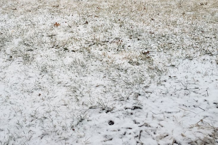
Little accumulation is expected, however, as the ground is warm.
Wind gusts of up to 35 mph are possible near the coast, and up to 25 mph elsewhere.
Minor coastal flooding is possible, mainly for the oceanfront and Delaware Bay. The Sunday morning and Sunday evening high tides are most susceptible.
High temperatures Saturday will range from the upper 30s across the north to around the mid-40s elsewhere.
By 6 a.m. Sunday, however, temperatures will drop considerably, with lows in the upper 20s to lower 30s, and colder across the Poconos and northwest New Jersey.
Here is the 7-day forecast from the weather service:
Saturday
A slight chance of rain and snow after 3pm. Increasing clouds, with a high near 46. Northeast wind 5 to 10 mph. Chance of precipitation is 20%.
Saturday Night
A chance of rain and snow before 3am, then a chance of snow. Cloudy, with a low around 32. Northeast wind around 8 mph. Chance of precipitation is 50%. New snow accumulation of less than a half inch possible.
Sunday
A chance of snow before noon, then rain likely between noon and 2pm, then snow likely after 2pm. Cloudy, with a high near 40. Northeast wind 9 to 13 mph. Chance of precipitation is 70%. New snow accumulation of less than one inch possible.
Sunday Night
Snow likely, mainly before 2am. Cloudy, with a low around 32. Northeast wind 6 to 8 mph becoming northwest after midnight. Chance of precipitation is 70%. New snow accumulation of less than a half inch possible.
Monday
A slight chance of snow before noon. Mostly sunny, with a high near 49. Northwest wind 7 to 12 mph increasing to 13 to 18 mph in the afternoon. Chance of precipitation is 20%.
Monday Night
Mostly clear, with a low around 32.
Tuesday
Sunny, with a high near 50.
Tuesday Night
Partly cloudy, with a low around 44.
Wednesday
Mostly sunny, with a high near 66.
Wednesday Night
Partly cloudy, with a low around 52.
Thursday
Mostly sunny, with a high near 72.
Thursday Night
Partly cloudy, with a low around 54.
Friday
A chance of showers. Partly sunny, with a high near 71. Chance of precipitation is 30%.