


May 12, 2018
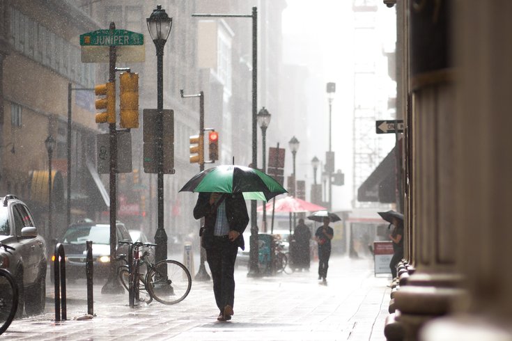
The National Weather Service has canceled a tornado watch for the entire Philadelphia region – from Chester County to Atlantic County, Salem County to Bucks County.
It was to have run until 1 a.m. Sunday, but ended several hours early as thunderstorms moved offshore.
From Sunday to Friday, the weather service sees several rounds of showers and thunderstorms. Heavy rainfall totals may occur by the end of the week, with an increasing threat of at least localized flooding.
Here's the weather service's 7-day forecast for Philadelphia:
Saturday night: Showers and thunderstorms before midnight, then showers likely. Some storms could be severe, with damaging winds and heavy rain. Patchy fog after 3 a.m. Low around 54. North wind 8 to 11 mph becoming northeast in the evening. Chance of precipitation is 80 percent. New precipitation amounts between a half and three quarters of an inch possible.
Sunday: Showers likely. Patchy fog before 10 a.m. Otherwise, cloudy, with a high near 61. Northeast wind 8 to 10 mph. Chance of precipitation is 60 percent. New precipitation amounts between a tenth and quarter of an inch possible.
Sunday night: Showers likely and possibly a thunderstorm before 2 a.m., then a chance of showers. Cloudy, with a low around 55. East wind 3 to 8 mph. Chance of precipitation is 60 percent. New precipitation amounts between a tenth and quarter of an inch, except higher amounts possible in thunderstorms.
Monday: Mostly cloudy, with a high near 78. Light and variable wind.
Monday night: A chance of showers and thunderstorms between 8 p.m. and 2 a.m., then a slight chance of showers. Mostly cloudy, with a low around 66. Light southwest wind. Chance of precipitation is 30 percent. New rainfall amounts of less than a tenth of an inch, except higher amounts possible in thunderstorms.
Tuesday: A slight chance of showers, then a chance of showers and thunderstorms after 2 p.m. Partly sunny, with a high near 86. Chance of precipitation is 50 percent. New rainfall amounts between a tenth and quarter of an inch, except higher amounts possible in thunderstorms.
Tuesday night: A chance of showers and thunderstorms. Mostly cloudy, with a low around 67. Chance of precipitation is 50 percent.
Wednesday: Showers likely, with thunderstorms also possible after 2 p.m. Cloudy, with a high near 80. Chance of precipitation is 60 percent.
Wednesday night: A chance of showers and thunderstorms. Cloudy, with a low around 62. Chance of precipitation is 50 percent.
Thursday: A chance of showers. Cloudy, with a high near 76. Chance of precipitation is 50 percent.
Thursday night: Showers likely. Cloudy, with a low around 61. Chance of precipitation is 60 percent.
Friday: Showers likely. Cloudy, with a high near 73. Chance of precipitation is 60 percent.
Friday night: A chance of showers. Cloudy, with a low around 63. Chance of precipitation is 30 percent.
Saturday: A chance of showers and thunderstorms. Cloudy, with a high near 79. Chance of precipitation is 40 percent.