


January 13, 2022
 file photo/PhillyVoice
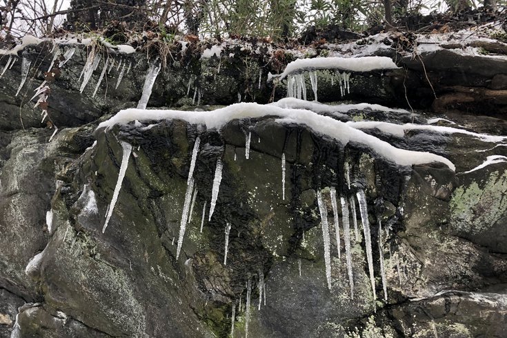
After extremely cold weather to start this weekend the Philly region, there will be a winter storm that brings snow, sleet and rain, starting Sunday afternoon into Monday. Overnight low temperatures Friday and Saturday will be in the teens and wind chills will make it feel much colder. The file image above show icicles hanging from rock near the Wissahickon Creek in February 2021.
The second winter storm of January is on the horizon for the Philadelphia region, as a mix of snow and sleet is forecasted to fall Sunday into early Monday morning. But first it is going to get dangerously cold.
The snow is predicted to begin after 1 p.m. Sunday, according to the National Weather Service, just as Eagles fans settle in to watch the wildcard game against Tom Brady and Tampa Bay. By 10 p.m., the precipitation will change to a mix of snow and sleet.
As temperatures rise more, the weather system will produce snow and rain until 1 a.m. Monday before giving way to rain until 1 p.m. that afternoon.
It's uncertain how much snow and sleet could fall Sunday into Monday. As of Thursday, there was a 50% chance of accumulation but that all likely will be washed away as it gets above freezing and the precipitation turns to rain, the NWS's extended winter weather outlook says. Snowfall accumulations will be greater north and west of the city where the temperature remains colder.
This storm will produce strong winds along the coast and potentially cause coastal flooding. Wind speeds could reach 60 mph near the shore late Sunday night.
Before that, temperatures plummet will be well-below freezing. On Friday night into Saturday, the low will be around 14 degrees in Philly and it will be blustery. Wind chills from winds gusting up to 30 mph will make it feel like zero degrees and possibly colder. Then Saturday night, the low temperature in the city will get down to 12 degrees.
In the Poconos, Friday night's low will be around 2 degrees and the wind chill will make it feel like minus 15 outside. Saturday night in the mountains the low will be around 1 degree, but winds are expected to be lighter.
Temperatures remain seasonable through tomorrow, then we get another arctic plunge Friday night through Saturday night. A strong storm system will impact the region Sunday night potentially bringing multiple weather hazards. It's that time of year! ❄️🌬️🥶 #PAwx #NJwx #DEwx #MDwx pic.twitter.com/VhzZIKQ41D
— NWS Mount Holly (@NWS_MountHolly) January 13, 2022
Philadelphia had its first significant snowfall of the season last Friday when parts of the city got as many as 5 inches of snow. On Jan. 3, the region's first official snowstorm of the season buried parts of the Jersey Shore under more than a foot of snow.
Below is the NWS's forecast for Philadelphia through Tuesday.
• THURSDAY: Partly sunny with a high near 45. Mostly cloudy with a low around 32 at night.
• FRIDAY: Mostly cloudy before becoming sunny with a high near 45. Mostly clear with a low around 14 at night.
• SATURDAY: Partly sunny with a high near 24. Partly cloudy with a low around 12 at night.
• SUNDAY: Chance of snow after 1 p.m. Mostly sunny with a high near 34. Snow possibly mixed with sleet before 10 p.m., then turning to rain and snow between 10 p.m. and 1 a.m. Mostly rain expected after 1 a.m. Low around 29.
• MONDAY: Chance of rain before 1 p.m. before giving way to partly sunny skies. High near 42. Mostly cloudy with a low around 26 at night.
• TUESDAY: Mostly sunny with a high near 35. Partly cloudy with a low around 23 at night.
Follow Pat & PhillyVoice on Twitter: @Pat_Ralph | @thePhillyVoice
Like us on Facebook: PhillyVoice
Add Pat's RSS feed to your feed reader
Have a news tip? Let us know.