





September 22, 2026
 Jo Ciavaglia/USA Today Network via Reuters Connect
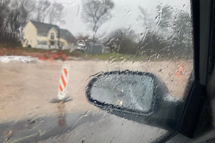
A rare September nor'easter is forecast to hit much of the East Coast over the coming days, bringing advisories for coastal flooding to the Jersey Shore and potentially the Philly area during the rest of the week.
The Philadelphia region is expected to be hit with an unusual September Nor'easter in the coming days with a powerful storm building momentum off the Atlantic Coast.
Nor'easters, named for the direction of their wind patterns, typically occur between October and March with a peak during the snowy winter months. The Philly area usually sees two to four over the course of the prime season for Nor'easters, but occasionally a storm will arrive early.
"It's certainly on the early side for having some of these coastal storm effects," Amanda Lee, a meteorologist with the National Weather Service's Mount Holly station, said Tuesday. "It can be several different factors that go into why this is happening now versus a different time. It's not unprecedented."
Forecasters are still working to predict the course of the storm, which is forming off the coast of the Carolinas and Virginia.
Coastal areas of New Jersey and Delaware will likely see effects from the low-pressure system as soon as Tuesday night. The NWS has issued a coastal flood advisory for those areas to see minor flooding starting this afternoon, followed by a watch for moderate flooding by late Wednesday afternoon. Additional advisories could be added Wednesday and Thursday for areas along the Delaware River.
The early Nor'easter is coming during a year that has seen a record 156 flash flood warnings issued in the Mount Holly station's coverage area that includes all of Delaware, most of New Jersey, 10 counties in southeastern Pennsylvania and four counties in Maryland. The annual average is 63 and the previous record for a single year was 113 in 2018.
Lee said the Nor'easter brings a different type of concern compared to the spring and summer downpours this year.
"If the flooding is coming from the rain itself, it wouldn't be a flash flood," Lee said. "We're looking more at the longer-duration flooding where the total amount of rain is what's causing it instead of getting a quick hit. With a flash flood, even as little as an inch of rain or so in Philadelphia will cause flash flooding. Water can also get pushed up the Delaware Bay into the tidal portions of the Delaware River, which can cause flooding in Philadelphia."
Based on the current forecast, Lee said the storm appears to be far enough offshore rainfall is unlikely to produce flooding on its own. But the storm could linger through much of the weekend, and the region will likely see strong winds over the coming days, particularly along the coast.
Temperatures are expected to dip below average with highs in the 60s the rest of the week. The average high temperature in Philadelphia this September has been about 83 degrees, roughly six degrees higher than the climatological average of 77 degrees for September.
"We've had a couple of 90-degree days and several more where we were in the upper 80s," Lee said. "Even though we're expecting to end the month below normal, it will end up averaging out."
Meteorologists are still working to understand what led to such a sharp uptick in flash flood warnings this year, including factors related to warming temperatures and improved observation.
"Every year can be a bit different," Lee said. "More research would need to be done to look at this year as a whole and compare it to previous years."