

June 17, 2025
 Thom Carroll/for PhillyVoice
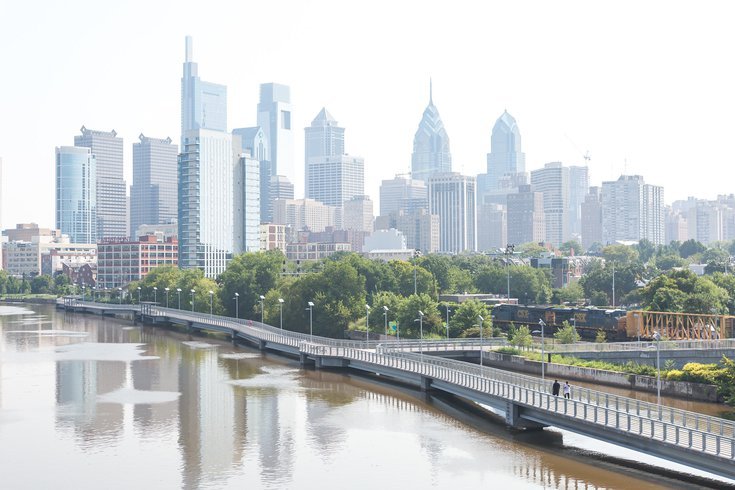
Temperatures will break into the 90s in Philadelphia over the coming week, pushing close to 100 degrees by Monday, according to the National Weather Service. The city has had only eight 100-degree days since 2000.
After a mid-June cool spell, Philadelphia is headed toward a warm stretch that could bring highs near 100 degrees on Monday and Tuesday.
The National Weather Service's Mount Holly station forecasts the heat will start rolling in Wednesday, when the high is 89 degrees. After that, there's not much relief from the scorching conditions.
"It looks like the heat will keep going into next week," NWS meteorologist Nick Guzzo said Tuesday.
NWS forecasts highs of 94 on Sunday, 98 on Monday and 99 on Tuesday.
Since 2000, Philadelphia has had only eight days when the recorded highs at Philadelphia International Airport reached 100 degrees. The last time it happened was in 2012, when the city hit 101 on July 7 and 100 on July 18. The other times were in 2011 (July 22 and 23), 2010 (July 6 and 7) and 2001 (Aug. 8 and 9).
Guzzo said the average temperature in the city around this time is roughly 84 degrees.
"It's not unheard of that we have some of these higher temperature days in June and variabilities," he said. "It just feels like more of a significant shift given the fact that we have been cooler."
The last time Philadelphia eclipsed 100 degrees during June was in 1994, when the temperature hit 100 on June 15 and 19. Last year, the city's high for the month was 98 degrees on June 24. With an average temperature of 77.4 degrees, last June was the fourth-warmest in Philadelphia going back to 1872.
On Sunday, Philadelphia had a high temperature of just 64 degrees. This month's jarring transition from cool to hot is partly explained by the cloudy weather that arrived over the weekend.
"That helps keep temperatures down, but we're certainly seeing a pattern change with a warm front coming and humidity increasing," Guzzo said.
A heat wave in Philly is considered any three-day stretch with temperatures above 90 degrees. Last summer brought several of them — June 18-23, July 4-10 and Aug. 1-3. The city declared excessive heat warnings on all three occasions and opened up cooling centers to offer refuge to people in need.
As a whole, 2024 was the hottest year on record in Philadelphia — tying 2012 — and six of the 10 hottest years on record had been in the decade leading up to last year. Guzzo declined to comment on the relationship between climate change and weather patterns, but the city's trend tracks with NASA's report last year that average surface temperatures on Earth were the hottest the agency has ever recorded.
A rapid shift from cool weather to oppressive heat sometimes catches people off-guard, Guzzo said. The NWS will typically ramp up advisories this time of year to make sure people take precautions for the hot weather and reduced air quality that often comes with it.
"It's one of the things we talk about with heat safety because it makes people more susceptible when all of a sudden it starts to warm up," Guzzo said.